This map aims to make visible countries which, for whatever reason, no longer exist. These countries might have been annexed, voluntarily become part of another country, or have been secessionist states that were quickly dissolved. Some, like Transylvania, still exist somewhere in popular conciousness. Some, like the Principality of Trinidad, were born of the eccentricity of an individual.
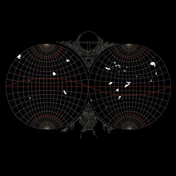
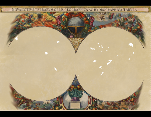
Most began and ended as a result of the imperial game, something else this map visualises, the positioning of the countries and the shape of the map itself is based on a map from the early imperial period and the decoration is from another, suitably altered to distinguish the space these lost countries inhabit from the space created by early imperial mapping.

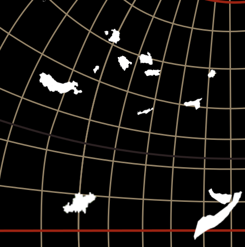
The countries unfortunately came out too small to label them, but I do quite like the way they look like scraps of paper blowing across the barely-there earth. I do wish I had been able to put more personality into the countries, and put something of their story into the map, but I do like the implicit unity that the uniformity provides. Especially because there is in reality almost nothing similar about most of these countries.
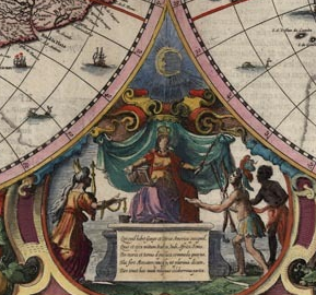
The ’empty throne’/’empty globe’ line art was adapted from a map in which the globe was populated and the throne occupied.
 I like the idea of vestiges of imperial trappings rendered meaningless but still framing the content. Originally I planned to keep more of the border and merely warp it to suggest the change. I really liked the vibrant colours and wasted a lot of time trying to make this work:
I learnt a great deal about my software from this project and my project changed a great deal due to my software and the limitations imposed by my knowledge of it. Not being able to translate an idea into pixels is still very frustrating, but I was determined not to just give up resort to a more comfortable medium again,
The biggest complication in the execution of this project was therefore my uncertainly about exactly what I wanted/could do. I am worried that it came out rather like my self portrait aesthetically speaking; clearly I have a strong unconscious pull in the direction of clean lines and plain backgrounds.
Visually I am happy with how this project looks, and I would like to think that the idea comes across, although I have a suspicion I may have made some choices for aesthetic rather than artistic reasons. I regret that I was not able to label the countries, because otherwise they remain somewhat lost, even when ‘mapped’, but there simply wasn’t space.
No single concept from the class particularly influenced this project, rather the concept of the whole class did. Lost countries is perhaps the most literal route one could take in a class called ‘mapping the invisible’. Thankfully ‘literal’ does not in this case mean either simple or uninteresting. I acquired a mass of facts; some new skills; a boatload of geographical, political and artistic theory; and have thoroughly enjoyed myself in the process.


