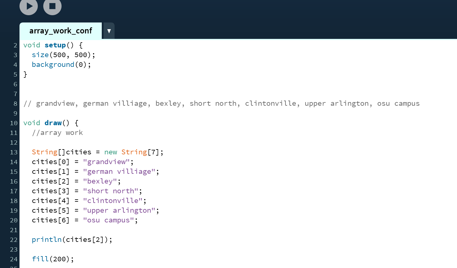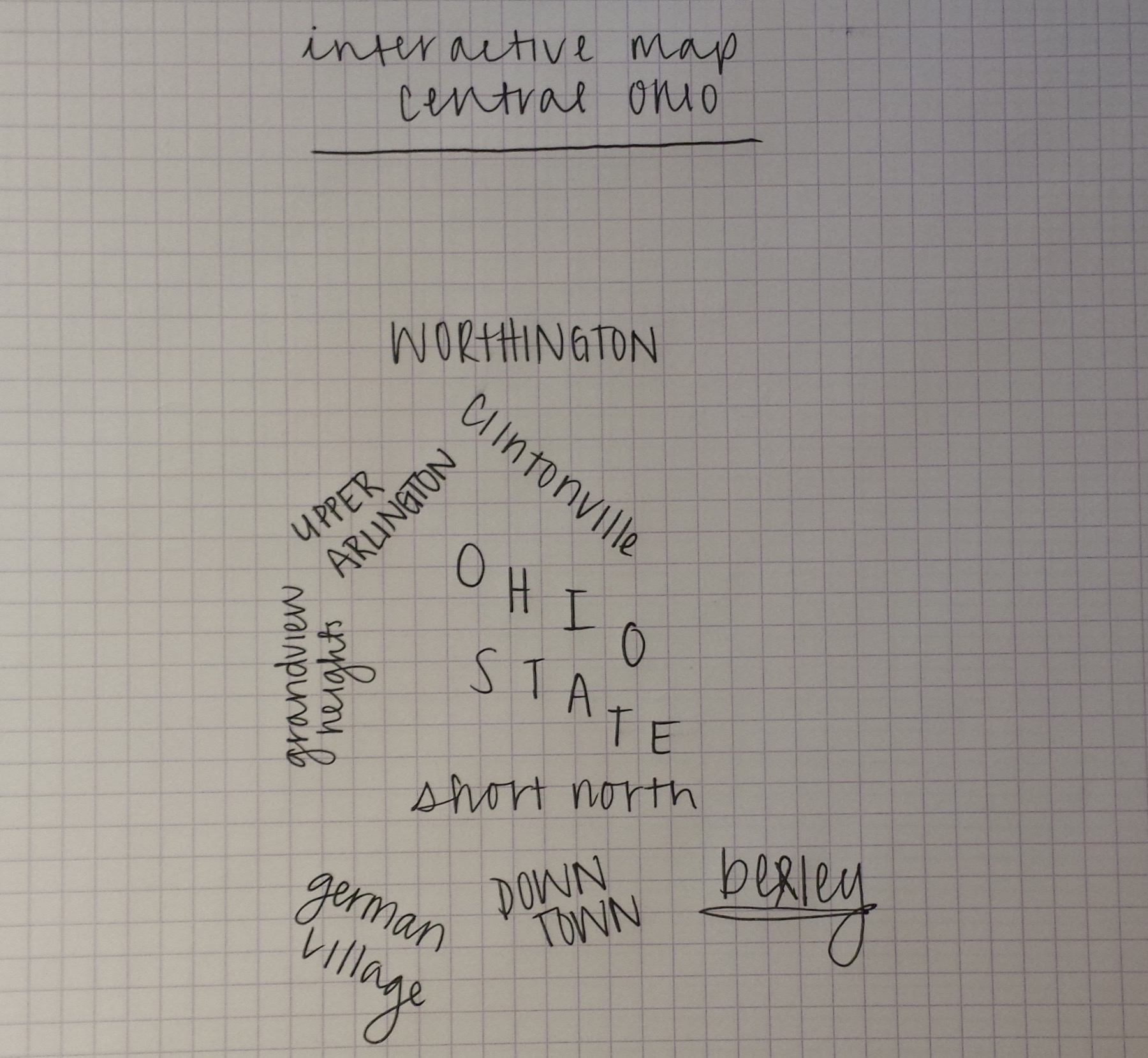
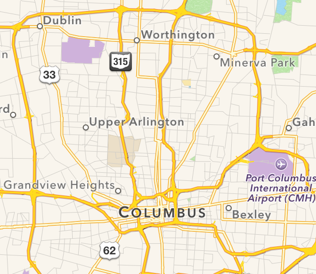
For project two, I have decided to create an interactive that is on the computer. The inspiration for this project came from working on my conference project regarding arrays, and these greeting cards I really like. The greeting cards list the names of the towns/neighborhoods in central Ohio in the place that they are. It is sort of a text map of central Ohio.
So, for the project, I am going to create an array that lists all the neighborhoods, and then when interacted with, (mousePressed) the neighborhoods will arrange in the order where they occur. This project allows the user to interact with the city in a sense, and see it a different way.
Neighborhoods:
- Bexley
- Grandview Heights
- Upper Arlington
- Worthington
- Clintonville
- Ohio State University
- Short North
- German Village
- Downtown
This interactive piece reflects de Waal’s ideology of ‘urban flaneurs.’ People are encouraged to be curious and interact. Many responses I have received to ‘I’m from Ohio’ have been met with a lot of confusion as to what Ohio is. This piece will give an interesting play on the communities within central Ohio, showing that it is more than just ‘farms.’